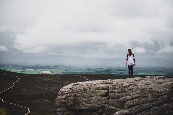
Chances are that if you live in Aberdeen or the surrounding Aberdeenshire, then you’ve walked up Bennachie at least once in your life, whether it be on a school trip, with friends or family, or on a Sunday afternoon when you’re trying to rid your hangover from Saturday night.
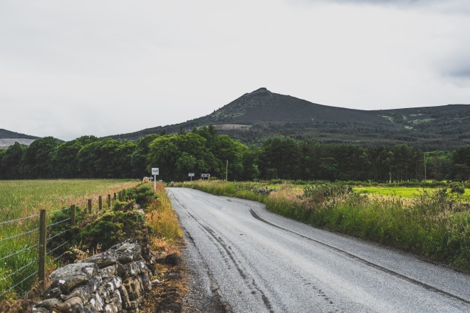
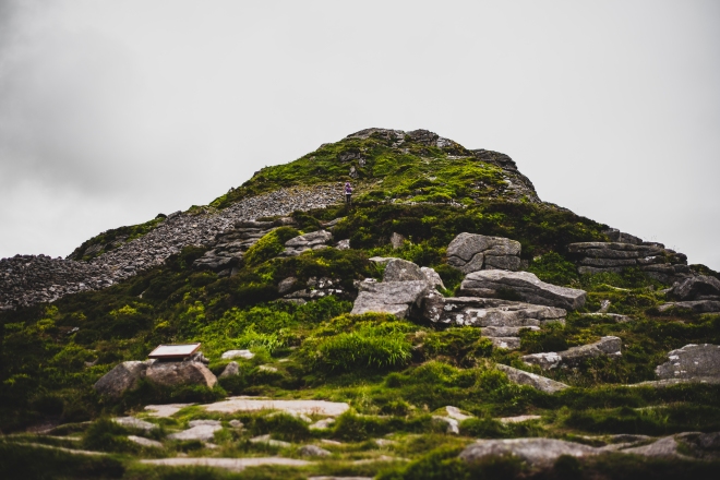
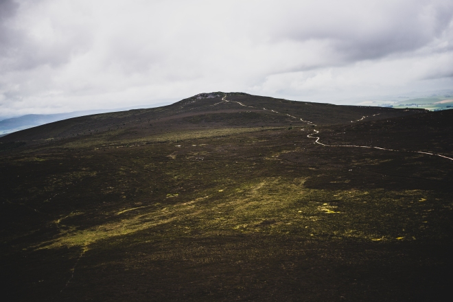
Bennachie is essentially a range of hills in Aberdeenshire, with several peaks, the highest being Oxen Craig which stands at a height of 1733ft, however, Mither Tap is the most popular due to it being the most visible, and stands at a height of 1699ft. The peaks of Bennachie are not relatively high compared to other peaks within Scotland, but the mountain is very prominent due to it’s isolation and relative flatness of the surrounding areas. It can be seen from miles and miles around, even from my living room window!
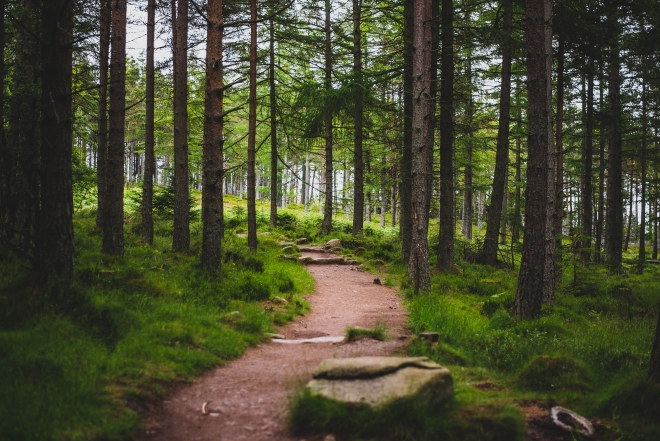
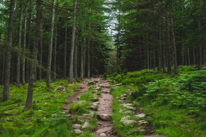
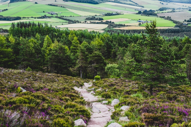
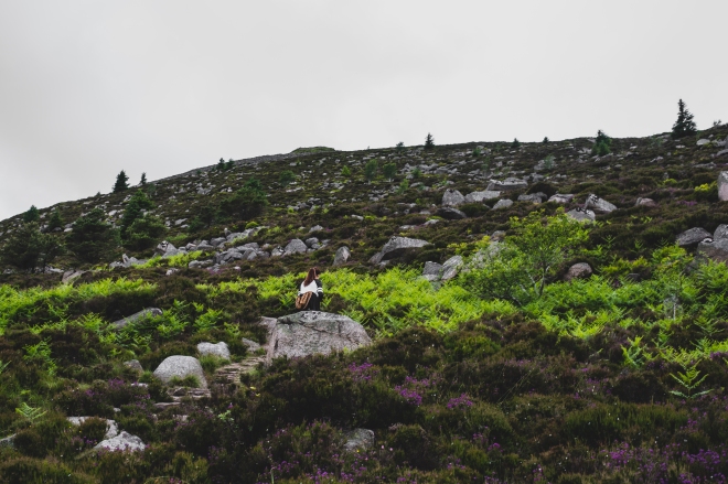
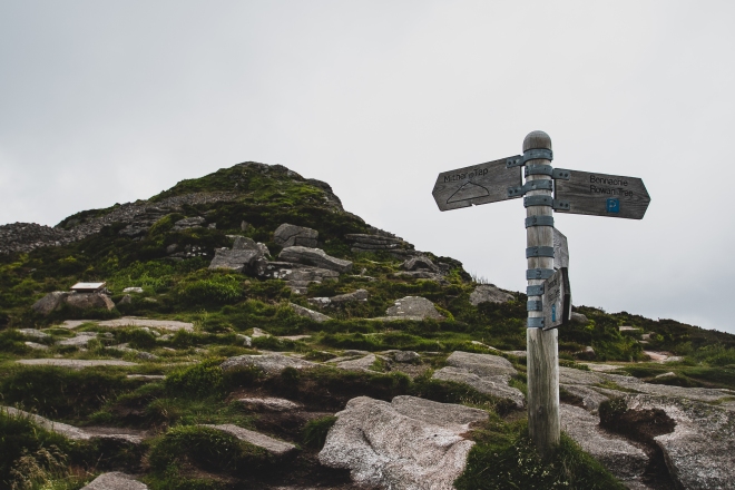
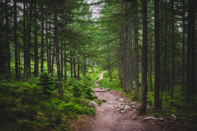
Anyway, starting at the Bennachie Centre Car Park, we made our way through the lower forest section of the Mither Tap trail, until we reached around the half way point where the trees clear, and the steep stone steps begin. Whether you’re going up or down this trail, it’s a certain ankle killer, and even worse on a wet day. I certainly didn’t remember it being as steep as it was, but maybe I just wasn’t as fit as I was when I last walked the trail.
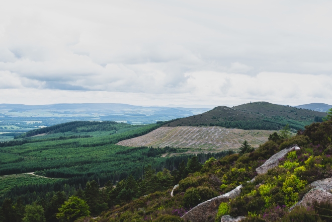
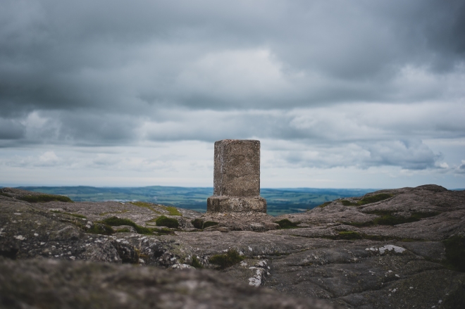
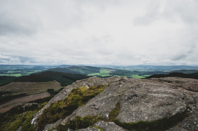
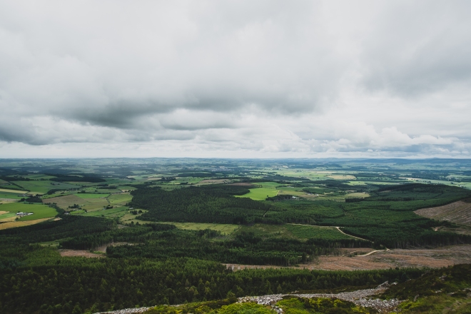
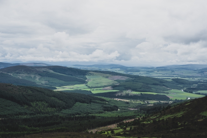
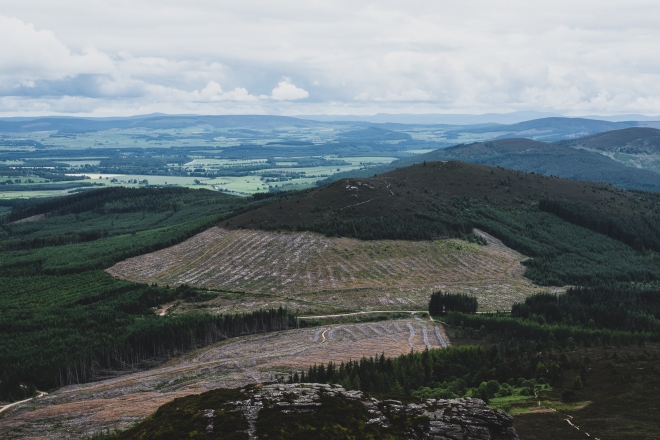
Mither Tap has an Iron Age fort on it’s summit, which is a nice treat upon reaching the top. We had just enough time to grab some lunch, take in the surrounding views, and be back on our way down before the rain came in.
